


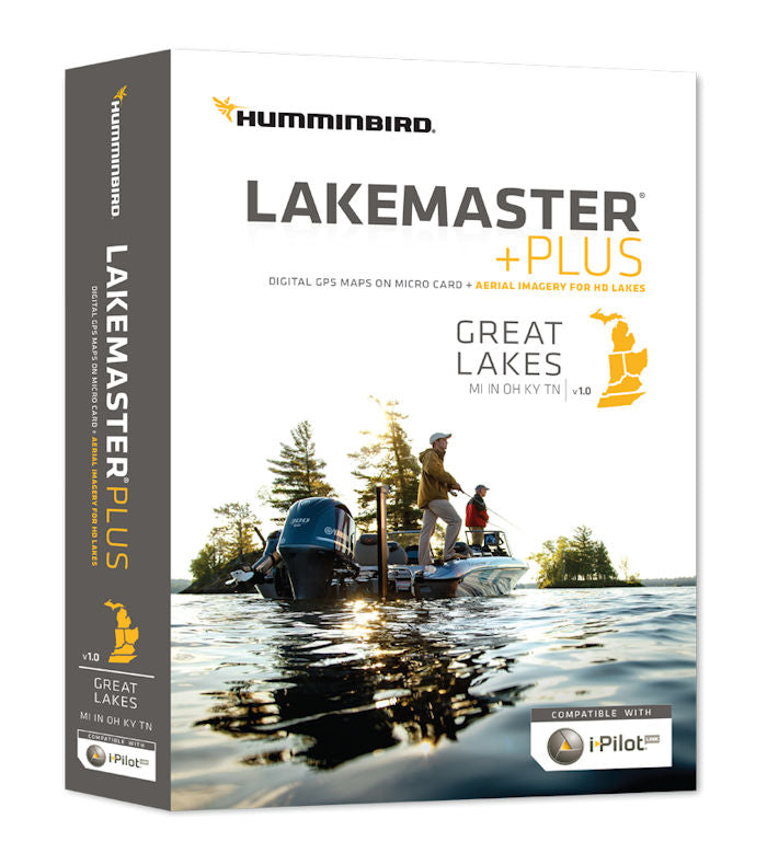
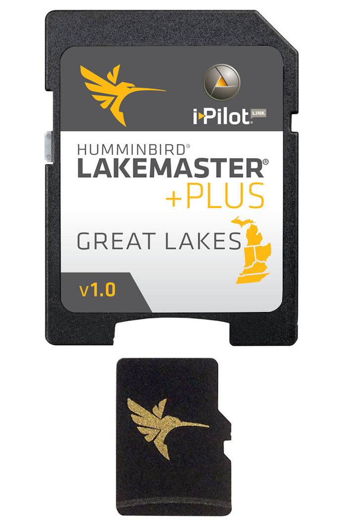


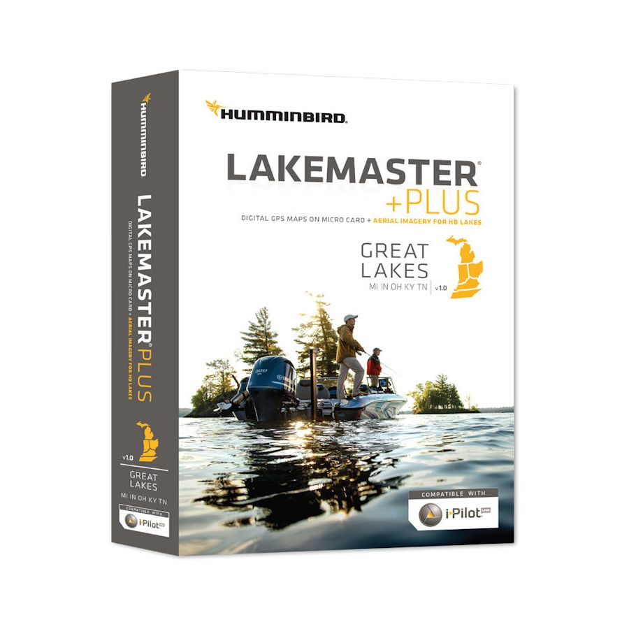
Humminbird Lakemaster Plus - Great Lakes
| Qty | Out of stock |
|---|
| Size | No |
|---|---|
| Price | $149.99 |
| Stock | 0 |
| Model | Great Lakes - Version 2 |


| Qty | Out of stock |
|---|
| Size | No |
|---|---|
| Price | $149.99 |
| Stock | 0 |
| Model | Great Lakes - Version 2 |